

Trip report
Mount Osceola Hike
Hiking/Walk DATE: 07/16/2011 - 07/16/2011
Trip/Event Location: Waterville Valley , NH
US
Trip Leader(s): Cartman , snowsurfer
Max # People: 12
Trip Guiding / Event Fee: No, I will not be asking participants for money
Difficulty Level: Moderate
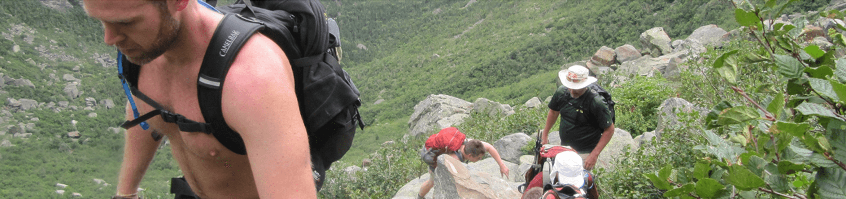
Join Don and myself as we hike Mount Osceola. The hike is 7 miles with 2025 feet of elevation gain. We’ll be climbing from Waterville Valley’s northwest pass, Thornton Gap, which is on
...Directions from I-93 are as follows: Get off Exit 31 (To Rt. 175 – Tripoli Road”). At the bottoms of the exit ramp, head east on Tripoli Road. The trailhead is 7 miles from I-93. Tripoli Road becomes a gravel road after a compile of miles. The parking area for the trailhead is located on the left side of the road. Parking is also permitted on the side of the road, in case the lot is full (park on the south/right side only). We’ll be drving a red Mini-Cooper with white roof.
Trip Report/Photos
- The Trip Has No Report -
- The Trip Has No Photos -
|
|
||


