Trip report
MIDDLE AND SOUTH CARTER LOOP HIKE
4000 Footer DATE: 11/04/2023 - 11/04/2023
Trip/Event Location: Gorham, NH
Trip Leader(s): Gandalf , JDNnh
Max # People: 15
Trip Guiding / Event Fee: No, I will not be asking participants for money
Difficulty Level: Strenuous
While South Carter summit [4430’] is wooded, the highlight will be the views from the Carter-Moriah Trail before and after the summit of Middle Carter [4610’]! Join us for a loop hike
...From I-93, take exit 35 where you will end up on US-3 / N towards Twin Mountain / Lancaster. Continue along for roughly 12 miles and then turn right onto NH 115 N. Continue for 9.6 miles and turn right onto US-2 E / Presidential Hwy. Drive for another 12 miles and make a turn onto Main Street. Drive 1.4 miles and turn NH-16 S / Glen Road. Drive for roughly 6.8 more miles until you reach the parking lot for the Nineteen Mile Brook trailhead. We’ll be driving a blue Toyota Tacoma truck.
Trip Report/Photos

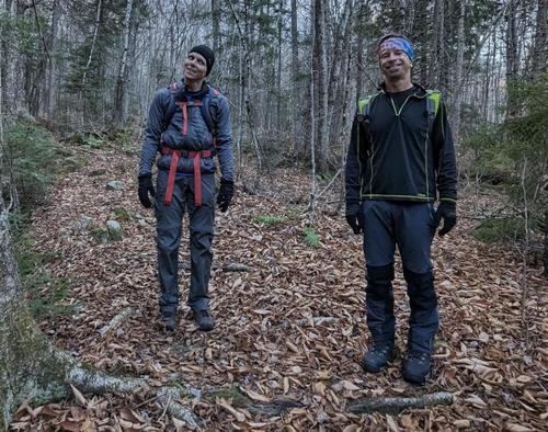
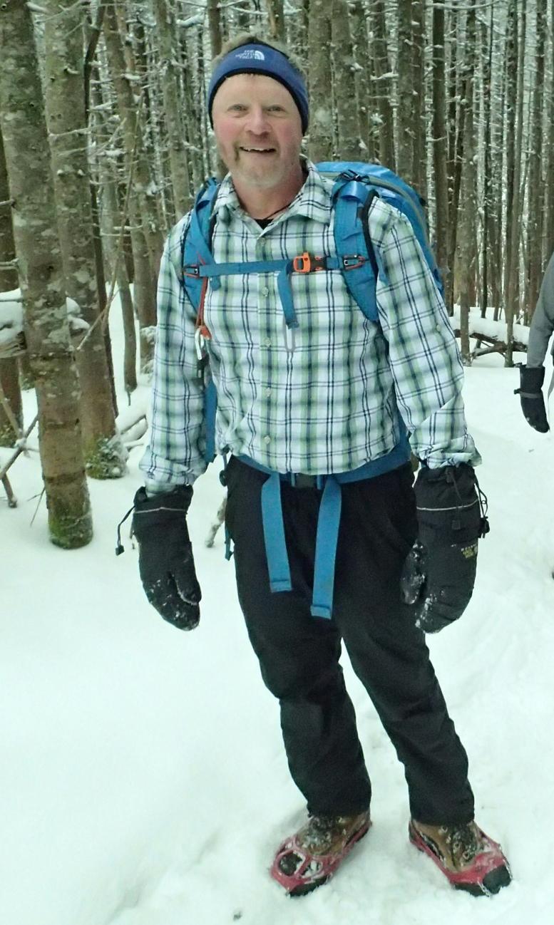
Saturday, we hiked Middle and South Carter! It was a balmy 50 degrees when we started under cloudy skies with temperatures around 35 degrees on the summits. It was a little chillier up there, but the wind was tame so it was actually kind of nice to cool us down after the climb up.
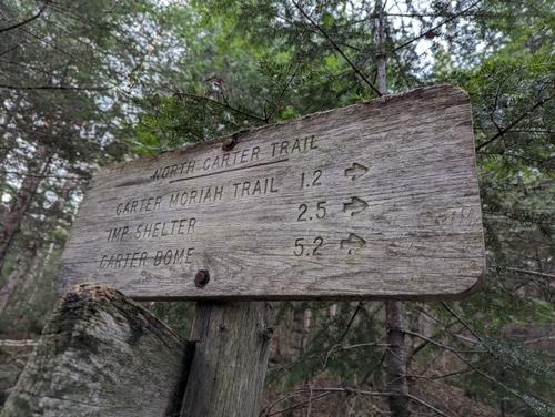
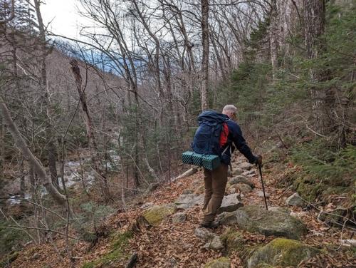
Parking at Nineteen Mile Brook, we did a short walk along Route 16 North to get on the trail at Camp Dodge. We met the well blazed Imp Trail and we started our ascent on a bare trail. The leaves are off the trees…stick season has arrived!
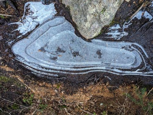
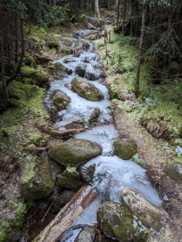
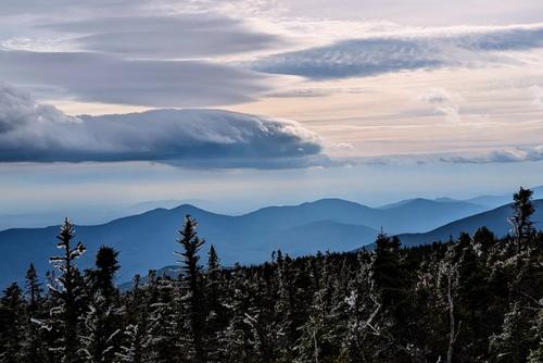
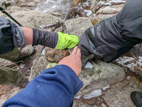
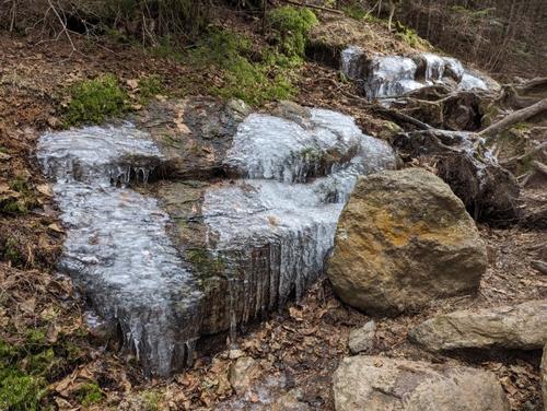
The forest was dark and spooky in this section…we started under cloudy skies. We eventually made it to North Carter trail around 9:30AM. It was pretty slow going in some spots due to some ice flows but after an hour and a half we made it to Carter-Moriah trail, a part of the Appalachian Trail!
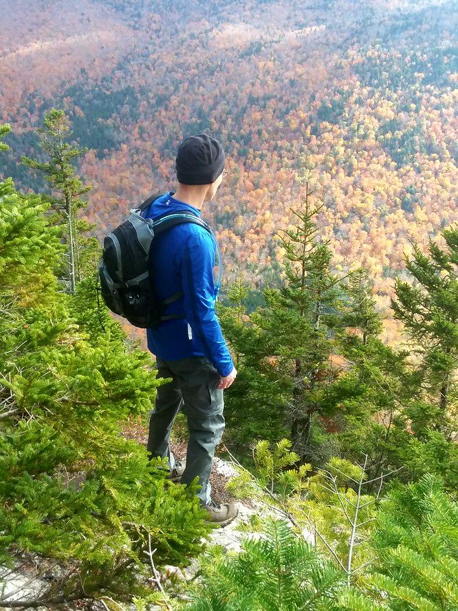
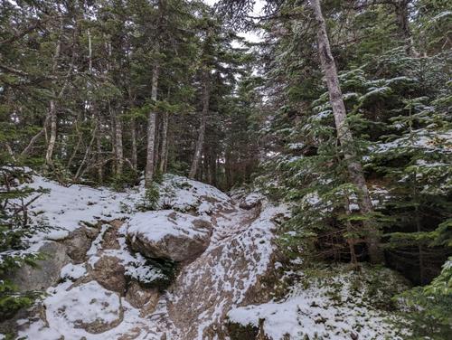
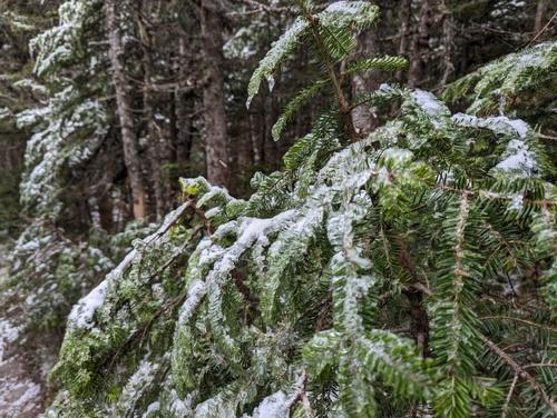
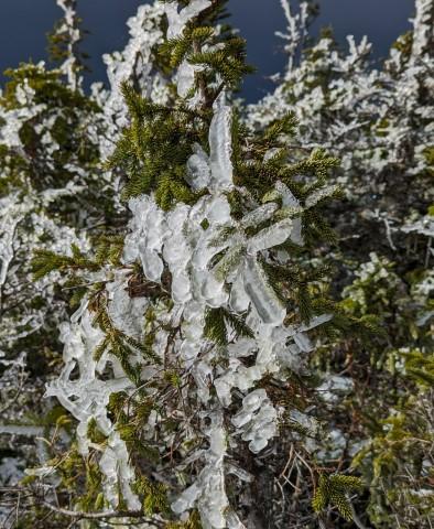
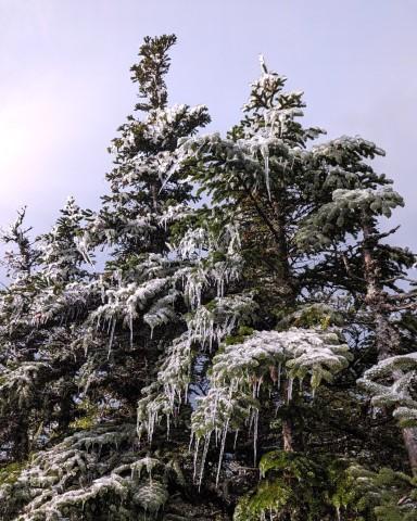
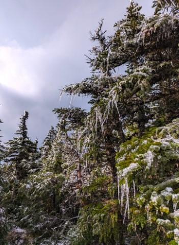
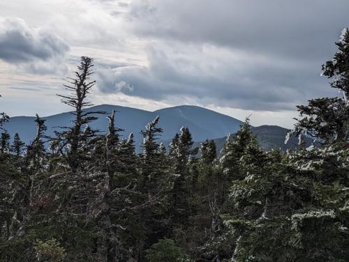
Here we began to encounter a winter landscape as we hiked over snow covered terrain with more ice flows. From here we had a somewhat steep ascent to the summit of Middle Carter, but the views took our minds off the difficulty of the hike. There were some gorgeous icicles hanging off the conifers!
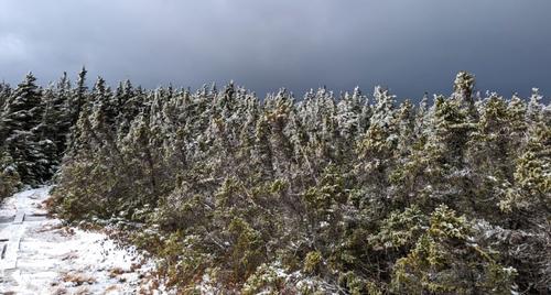
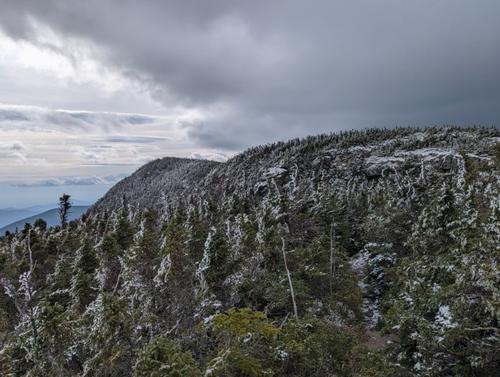
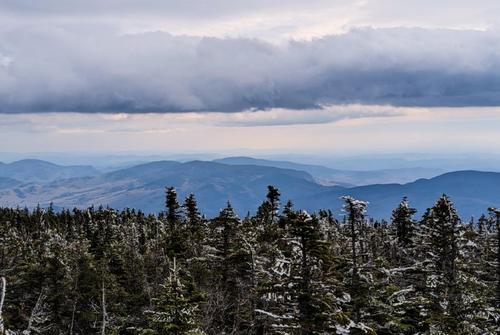
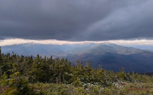
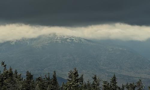
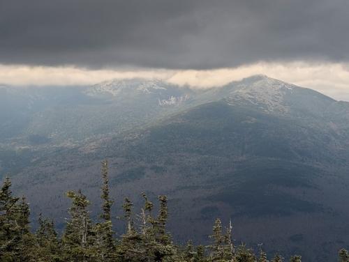
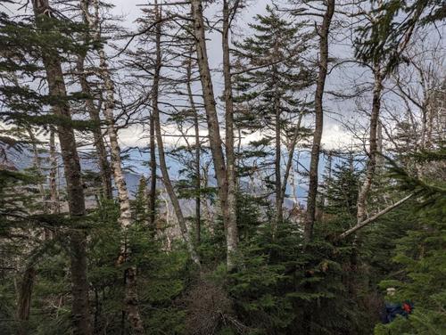
We tagged the wooden summit of Middle Carter and found an open area of ledge for lunch with fine views of many mountains north, Presidentials west, and South Carter, Hight and Carter Dome south. The weather was weird. To the east it was sunny with views of various mountains. To the west was a dark cloud high above the Presidentials with a thin layer of white clouds just above it. It was fascinating!
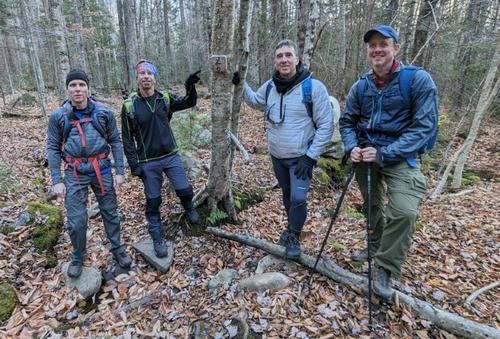
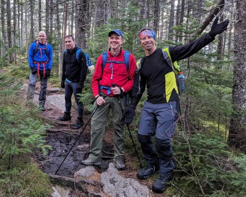
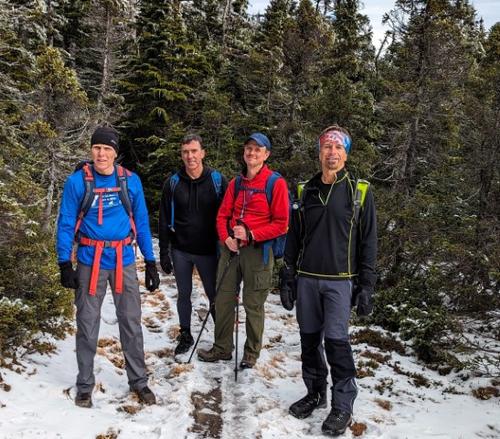
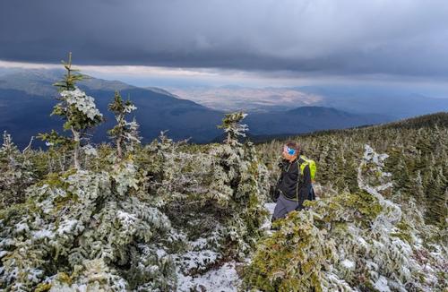
At lunch, we began encountering other people, most tagging the South Carter and Middle Carter from the Nineteen Mile Brook Trail out and back. Everyone was in bright spirits enjoying this beautiful winter landscape. We kept encountering this trio of young handsome guys…they were a gift that kept on giving!
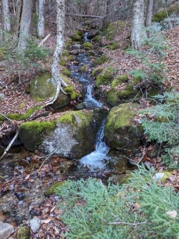
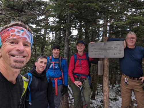
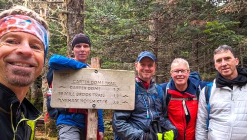
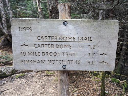
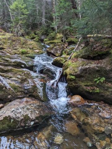
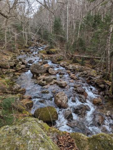
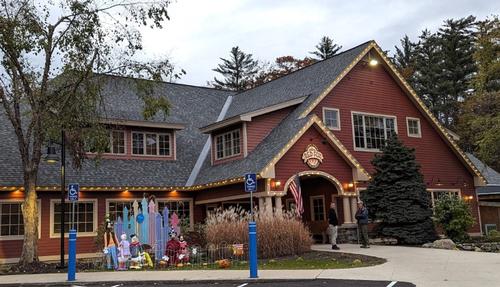
We then reached the summit of South Carter and moved on to the junction of Zeta Pass and Carter Dome trail. The rest of the hike out Carter Dome Trail and Nineteen Mile Brook was fairly uneventful. It was still beautiful outside. This part of the trail is pretty flat but really nice following the brook with all of the cascades. We then celebrated our finish with a delicious meal at Red Fox Grill in Jackson, NH!
Now that I’ve finished 46/48 of my NH 4,000 footers over 60 years old, I’m getting really excited for the big finish! The last two are Bondcliff and Mt. Bond. The plan is to have a backpacking trip there next summer. Another fun hike to add to the memories that I’ve made in these mountains!
~ Mike Boisvert
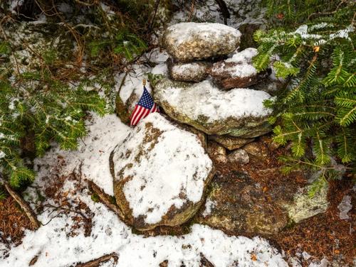
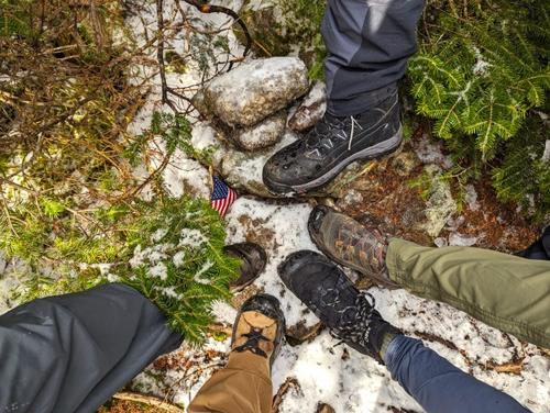
There are 42 photos in Album (Note: Move mouse pointer over larger pic and click on NEXT for better viewing)


|
|
||
 Invite To Be Your Buddy
 Send Email